
Read Nixa ZIP Code Coverage
Official city, county, and state materials inspected for Nixa identify one standard ZIP code: 65714. It is associated with the Nixa mailing area and surrounding portions of Christian County served through the Nixa post office. The inspected sources did not establish a second standard ZIP, a PO-box-only ZIP, a unique-institution ZIP, a local split, or a realignment for Nixa. That narrow finding is more useful than filling a table with assumed nearby codes.
| ZIP code | Officially located coverage | Post office reference | Research caution |
|---|---|---|---|
| 65714 | Nixa mailing area and surrounding portions of Christian County associated with the Nixa post office | Nixa Post Office; its specific street address was not located in the inspected official sources | Postal service area is not the same as Nixa's incorporated boundary. |
A ZIP code is a delivery geography, not a city census boundary or a roster. The Census counts reported for Nixa are city figures, not a ZIP-population count. The official materials also did not supply a USPS boundary polygon or historical 65714 boundary changes. Use a current address-level check for mail and a local map for municipal status.
Note: Record the ZIP result with its source date because delivery designations and local address data serve different purposes.
Nixa ZIP Code Means Postal Service
The Nixa ZIP code directory has a specific limit: 65714 is a strong mailing clue and a weak city-boundary clue. The City reports that some addresses outside city limits still carry 65714. A situs can therefore be in a county township or another district while using a Nixa postal city. The reverse assumption is also unsafe: a business or rural address may use a Nixa postal label without being incorporated Nixa land.
For a local property question, keep four facts in one note: the postal address, the city-limit or situs result, the parcel PID or legal description, and the source with its date. This prevents a ZIP-wide parcel result from becoming an unsupported statement about all Nixa residents. It also preserves the facts needed to return to the parcel or deed if the mailing address later differs from the physical location.
Local boundary check. Use USPS for address deliverability, Christian County GIS for parcel and city-limit context, and the legal description for the continuing land record.
Verify Nixa ZIP Codes With USPS
The USPS ZIP Code Lookup is the appropriate address-level check for a mailing question. Enter the complete address information available and use the live result to verify the ZIP assigned for delivery. The research captured the lookup route, not a static result for a selected Nixa address, so it does not support a claim about a particular street's current postal result.
The USPS ZIP Code Lookup screenshot is the official mailing-verification starting point for a Nixa ZIP code directory search.
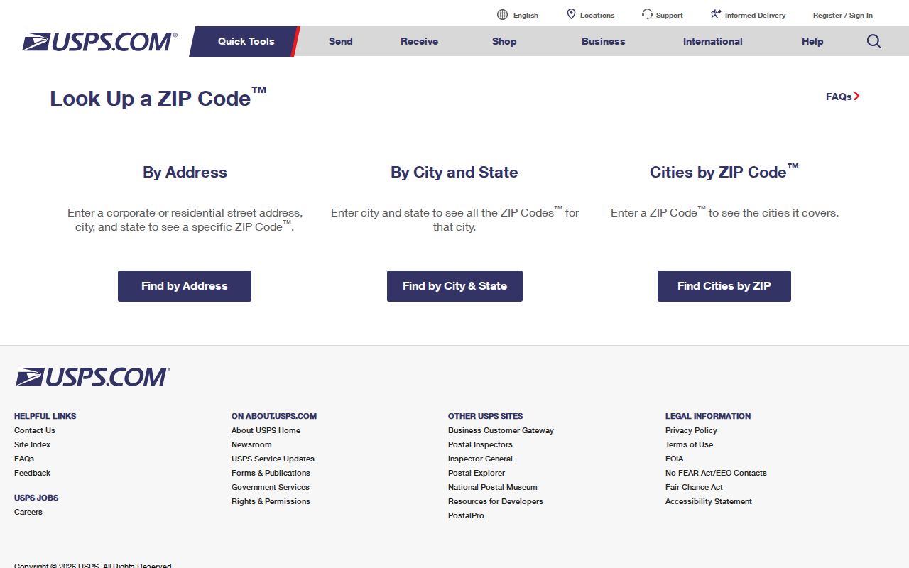
USPS can answer whether an address is served with a particular mailing ZIP. It does not determine Nixa incorporation, parcel ownership, legal description, or everyone connected with a street address. Follow a postal result with a county or city map when the city-limit answer matters.
Check Nixa City Limits in GIS
Christian County's parcel and address service places a ZIP-bearing address in a land-record context. Its parcel fields include address, city, state, ZIP, situs street and city, PID, deed book/page, legal description, subdivision, acreage, and assessed values. The separate assessor-data service provides corporate-limit, town, subdivision, zoning, district, and owner-name layers. A ZIP field is useful for filtering or comparison, but it is not an official USPS polygon.
The Christian County parcel screenshot shows the map-oriented side of ZIP code research.
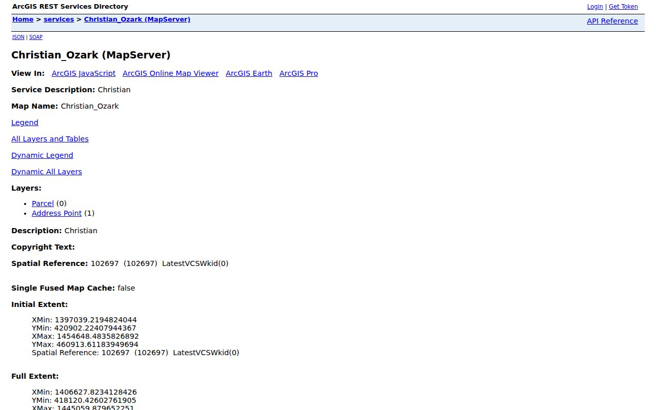
For a clear municipal answer, compare the county parcel with the City of Nixa Community Map. The city map documents lots and addresses, street names, city boundaries, zoning, subdivisions, council districts, school boundaries, sidewalks, snow routes, mosquito-fogging areas, and sinkholes. It is the boundary context; the county service is the parcel and assessment bridge.
Note: Cadastral map data is informational and should not be treated as a boundary survey.
Query Nixa Parcel ZIP Attributes
Christian County GIS supports map identify and parcel queries, and the parcel attributes include zip. A technically capable user can query the public service with a ZIP attribute, geometry, or distance-related approach and receive matching parcel data where that field is populated. The service supports query features such as pagination, ordering, SQL expressions, statistics, and return extent. Those capabilities support a land-record inquiry, not a ZIP code directory of people.
The public inspection captured the following relevant fields and controls. Exact toolbar labels can vary in an embedded map viewer, so use the field meanings rather than assuming a particular screen layout.
| Field or control | Role in a ZIP and address check |
|---|---|
| Address and ZIP fields | Provide the recorded address attributes, including city, state, ZIP, address1, and address2. |
sit_stnm and sit_city | Identify the physical parcel street and city context separately from mailing-style fields. |
| Parcel number or PID | Provides the durable parcel key for a result that needs recorder or assessor follow-up. |
| Corporate-limit and town layers | Help distinguish postal city language from mapped municipal or township context. |
| Legal description and deed book/page | Connect the parcel to title research when a street address is incomplete or changes. |
| Identify and query controls | Return a selected parcel's attributes; the public service supports map and REST query methods. |
Do not infer household membership from a set of ZIP-tagged parcels. The service's name field is an ownership-style record field, and address fields can be tax or correspondence fields. A parcel return is evidence about land and associated record fields, not a complete list of people at each location.
Search Nixa ZIP Code Records
A ZIP is most useful as an organizer for the next official record, not as the last result. Begin with the full address if it is known. Then separate the postal answer from the land-record answer before looking for a street, title, or individual record. The steps below use only the channels documented for Nixa and Christian County.
- Confirm the mailing ZIP with the USPS lookup for the complete address available.
- Locate the same address or approximate location in Christian County GIS and save the PID, situs, legal description, and city-limit context.
- Use the parcel's street, legal description, or deed reference for the Nixa street directory workflow when address-level property records are needed.
- Use the Christian County Recorder for grantor, grantee, and legal-description title research. ZIP is not the Recorder's primary deed key.
- For a known voter, use Missouri's exact-identity lookup or contact the Christian County Clerk about the statutory public-record route. Do not expect a public ZIP-wide voter screen.
Keep the postal city label separate from the county's parcel facts. This is especially important where a road crosses the city boundary or when a mailing address and situs are different. A request to an office should name the parcel, record type, and date range rather than asking it to create a new ZIP-based resident list.
Nixa Voter Portal Is Not ZIP Browse
The Missouri Voter Information Lookup has County, not ZIP, as one of its required inputs. It also requires first name as registered, last name, date of birth, and the last four digits of the SSN. For Nixa, select Christian County. The portal can confirm an individual registration match and election or jurisdiction context. It is not a way to browse every person with a Nixa postal code.
RSMo 115.157 identifies specified voter data that can be publicly available through the election authority, with protections and use limits. The inspected sources did not locate a current Christian County voter-file request form, fee, format, or ZIP-specific extract. Contact the County Clerk at 417-582-4340 for the current procedure rather than assuming a ZIP filter exists. A missing online match may also reflect a spelling, date-of-birth, SSN, or county mismatch.
Compare Nixa Postal and Parcel Terms
A ZIP code search can appear straightforward until the same address carries a postal city, a physical situs, and a legal description. Each term answers a different question. Use the terminology below when recording results or asking the county, Recorder, or City for a particular document. Precise terms reduce the risk of matching a mailing label to the wrong parcel.
- ZIP code and ZIP+4
- A ZIP code directs mail to a service area. ZIP+4 adds a more specific delivery segment; it does not create a city boundary or parcel identifier.
- PO-box ZIP
- A ZIP used for post-office box delivery rather than ordinary street delivery. No Nixa PO-box-only ZIP was located in the inspected materials.
- Unique ZIP
- A ZIP assigned to a single institution or organization. No unique-institution ZIP for Nixa was located in the inspected materials.
- Carrier route
- A postal delivery grouping. It can assist mail handling but is not a municipal boundary or a public household list.
- Situs and legal description
- Situs is the parcel's physical location; a legal description uses lot, block, subdivision, or survey language to identify land in the title record.
The County GIS layers distinguish situs-street and city fields from owner or mailing-style address fields. When they differ, preserve both values and do not decide that a mailing recipient resides at the physical parcel.
Use Nixa's 1881 Plat for Older Addresses
Nixa's historic geography is a useful check when an older record will not line up with a present mailing address. The city history describes an 1881 plat centered on east-west Mt Vernon Road and north-south Main Street. An early deed, directory, newspaper item, rural route, or post-office reference may use that orientation or a landmark instead of a current number.
No official Nixa renumbering schedule, annexation-to-address bridge, or historical USPS boundary change was located in the inspected sources. A 1947 Springfield renumbering found in a library notice is an adjacent-city example, not proof that Nixa changed addresses then. Search the legal description, old road form, plat, and nearby landmark before deciding that an old address is absent.
Nixa ZIP Code Directory Boundaries
A Nixa ZIP code directory should describe postal and parcel evidence with care. A postal result can confirm delivery. GIS can identify a parcel and show city-limit or district context. Recorder records can establish a land transfer through grantor, grantee, and legal description. None of those sources is a complete household list, and a different mailing-style address is not proof that a named person occupies the parcel.
Address confidentiality also matters. Missouri's Safe at Home program provides qualifying participants a substitute address for new government and court records, and voter records can have legal protections. Do not attempt to use ZIP, map, or deed research to identify a protected physical address. If a public record needs correction, ask the custodian to review the PID, instrument, or record reference rather than altering a copy.
Lawful personal use. Use Nixa ZIP and parcel information for personal, family-history, property, and civic research. Never use an address result to stalk, harass, intimidate, defraud, or harm anyone.